The Activation Log is a new series that reports on my Parks on the Air (POTA) activations. These are write-ups that share additional content, thoughts, and images of portable operations that may or may not make it into a video.
July 29, 2023. No camping this weekend, but instead we took a short weekend trip to the twin cities of Minneapolis and St Paul. We had a funeral to attend on Sunday, but that left us a fair amount of time to have fun in the city. Planning our weekend, I noticed that there were a few close by parks that I hadn’t yet activated, so we set our sites on Fort Snelling State Park (POTA K-2482) near Bloomington, Minnesota.
Fort Snelling
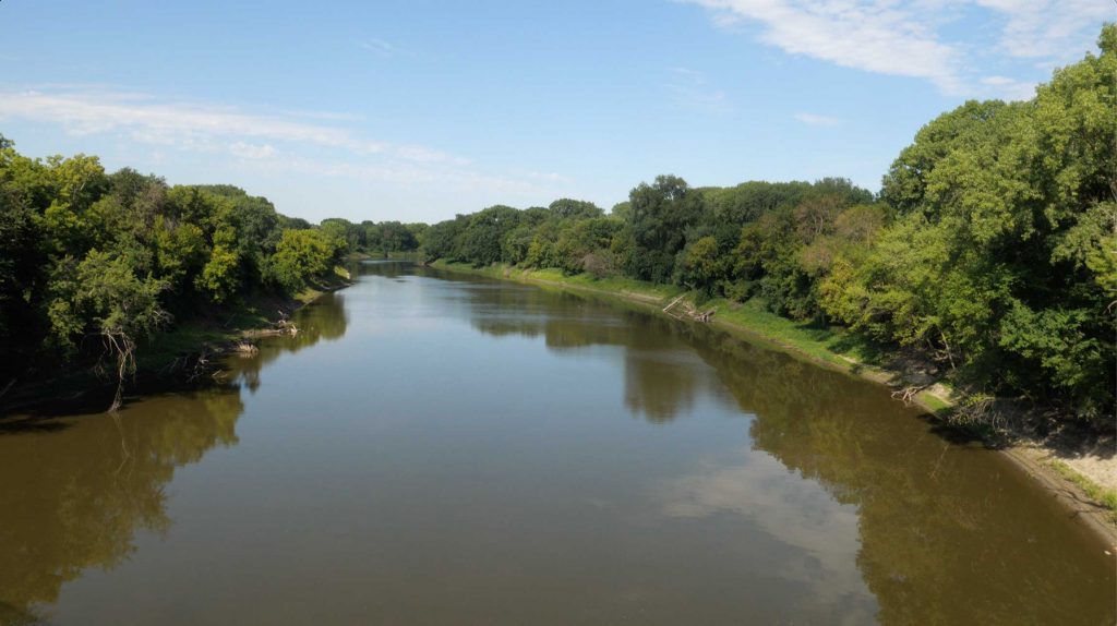
Fort Snelling has an interesting history. Sitting at the confluence of the Mississippi and Minnesota Rivers, the fort was built in the 1825 to protect the US government’s interests in territorial Minnesota and the Dakotas. The fort itself sits on the bluff. We didn’t visit the fort itself due to time, but explored the state park which encompasses the lowlands below the fort. The entire history of the fort is too long to share in this post, but I will highlight one dark aspect of it as. The land where the Mississippi and Minnesota rivers meets is known as Bdóte or the ‘meeting of the waters’ and is considered the Dakota’s spiritual homeland. In 1805 Lieutenant Zebulan Pike signed a treaty that we was unauthorized to create, known as Pike’s Purchase where the Dakota ceded 155,320 acres of land in the area. The validity of the treaty has been long questioned, and its effects have borne magnified hardship on the Dakota. To the point of the cause of the Dakota War in 1862. This war resulted in building an internment camp on Pike Island in the now State Park. Over 1600 Dakota men, women, and children, were forcibly confined to the camp. An estimated 300 Dakota died in the winter of 1862 due to the harsh conditions and brutality of the soldiers stationed at the fort. Survivors were removed to the Santee Sioux Reservation in Nebraska were hundreds more perished due to poor treatment. The only reason I mention this is that the fort has a terrible history when it comes to native treatment and you can somewhat feel that history and misery as you explore the park.
The park itself was created in 1962 to protect the unique lowland and Mississippi and Minnesota River bottoms. There’s no camping at the park, but a swimming beach, trails, and interpretive center make it one of the most visited parks in the state.
The Activation at Fort Snelling State Park
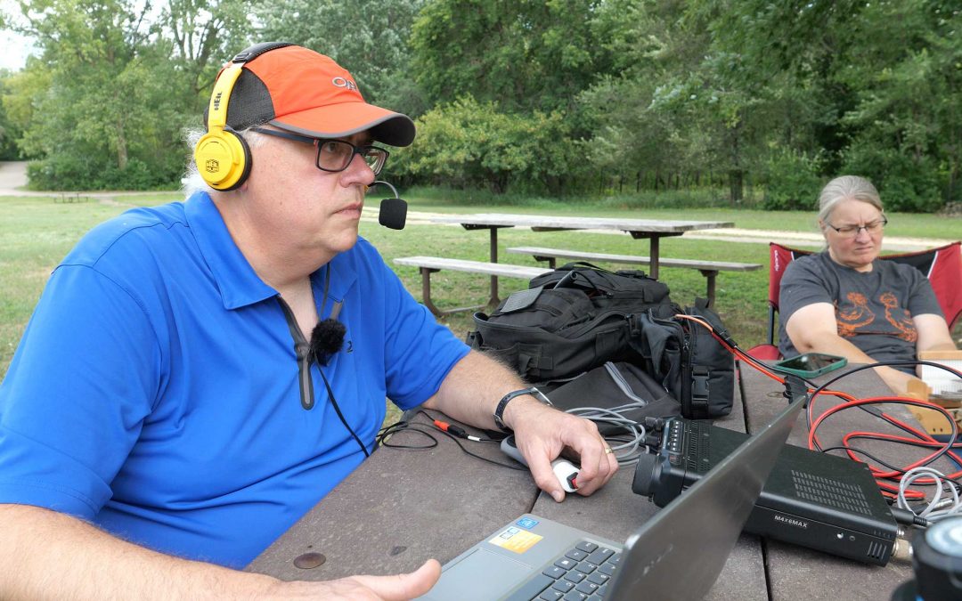
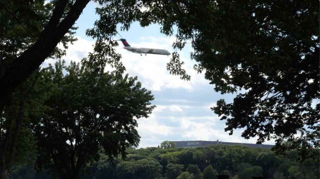
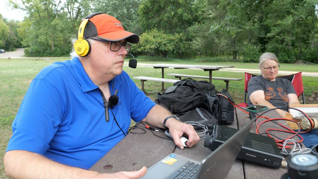
We drove around the park a bit to see the sites and to find a suitable activation spot. We settled on a picnic table under a tree near the swimming beach. Across the river from the beach is the Minneapolis-St. Paul International Airport, so we were treated with a constant string of commercial jet traffic landing at the airport.
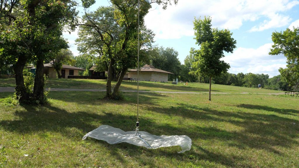
The weather was relatively cool, a high in the upper 70’s so the humidity and bugs weren’t oppressive. I set up the 1/4 wave vertical whip with the window screen ground plane. I stayed entirely on the 20 meter band for the activation. Our time was limited and I wasn’t planning to do a lot of band hopping.
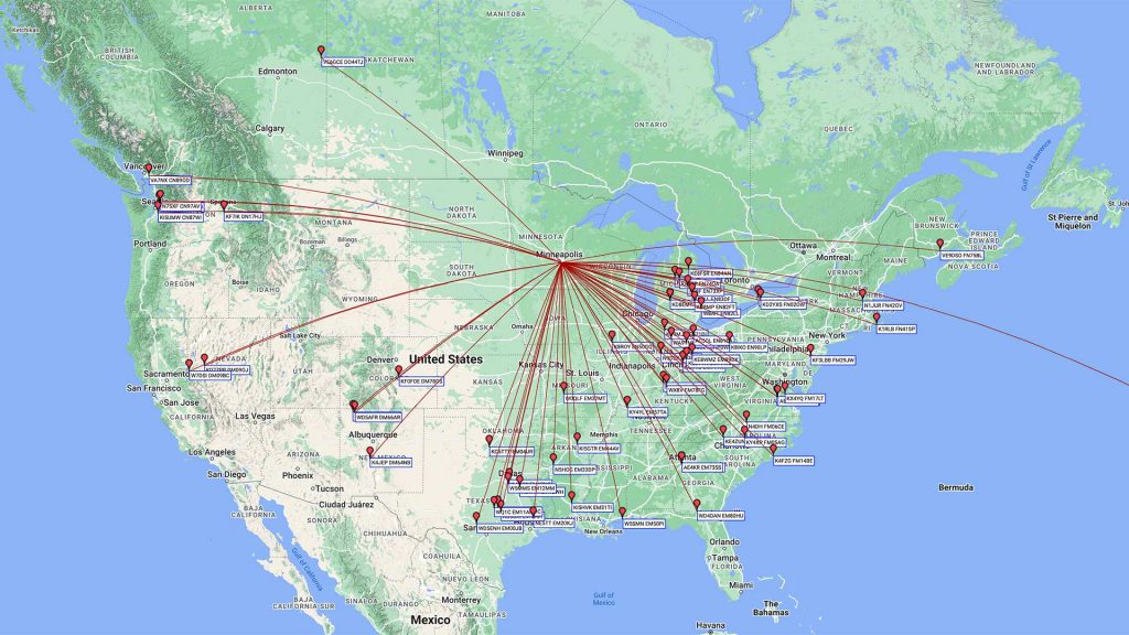
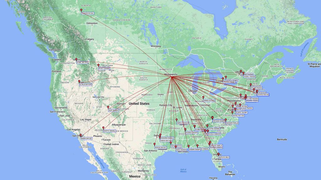
I started at about 3:30pm local time (20:23 UTC). I ran 20 meter phone. Conditions were pretty good and got 65 contacts in about 40 minutes. I then switch to FT8 and picked up another 30 contacts in about 30 minutes. All in all we spent about 90 minutes on the air in the park. We broke everything down and were soon on our way to our evening plans.
It’s a Two-fer
That evening, while uploading the log, I noticed that the state park is also part of the larger Mississippi River National Recreation Area (POTA K-3381). Normally the federal recreation areas exclude state parks, (I’m looking at you St. Croix National Scenic Riverway). But after careful consultation of the maps and the verbiage on the website confirms that the park is part of the recreation area. This recreation area stretches from Fort Snelling State Park to Minnehaha Falls and includes federal, state, and local lands. So I duplicated the logs and submitted the two-fer for the park.
Another Two-fer
The next morning we had a choice, sit around the hotel room to kill time, or find a another park to hit before the memorial service that afternoon. Fortunately our motel room in Eden Prairie was short distance to the MInnesota Valley State Trail, (POTA K-9384) and the trailhead I picked out was also sited within the Minnesota Valley National Wildlife Refuge (POTA K-0364). Another Two-Fer. The trail and the wildlife refuge follow along the shores of the Minnesota River. The Wildlife Refuge comprises of 14,000 acres of wetlands along the 70 miles of the Minnesota River and weaves its way primarily through the urban landscape of the southern twin cities. The Minnesota Valley State Trail is a 27 mile long multi-use trail winds through the refuge and other public lands from Belle-Plaine to Shakopee. We choose the activate the trail and refuge from the Bloomington Ferry Unit trailhead near Bloomington, MN.
So why is it called Bloomington Ferry? At this bend of the Minnesota River ferry operation began in 1949 to connect the community on both sides of the river. The ferry ran until 1889 when the Bloomington Ferry Bridge was built in 1889. Eventually the bridge was replaced and the current bridge, built in 1996, carries traffic on US HWY 169 across the river. Slightly downstream from that, the multi-use trail has its own bridge that is closer in location to the original Bloomington Ferry bridge.
Minnesota Valley Trail Activation
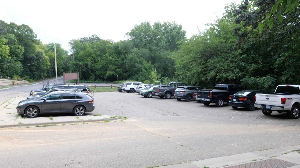
Operating from trailheads can be challenging. Parking can be limited and if the weather is nice, there will be a fair amount of activity. Fortunately this parking lot was a good size, but a limited number of spaces had good shade. We backed the car into one of those spots and I planned to work from the tailgate.
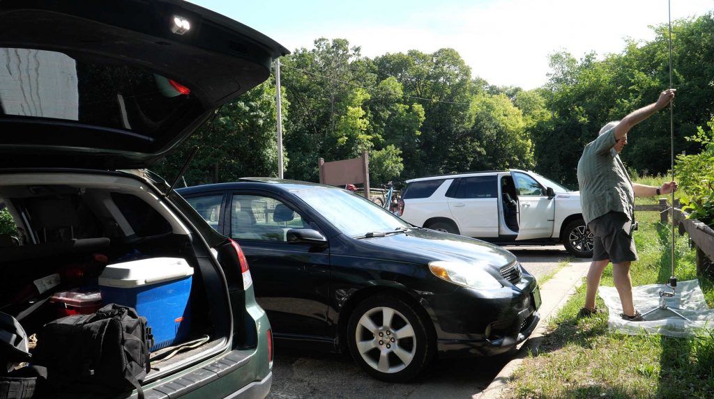
I set up the 1/4 wave vertical with the Sporty Forty coil and the window screen ground plane. Since space was limited, I was glad the screen took up so little real estate. It was still morning, so my plan was to start with a bit of 40 meters. After about 10 minutes of fruitless calling on the 40 meter band, I switched to 20 meters. Our time was limited to I needed to make the most of it. Noise was low at the trailhead and the conditions were average. I did pick up 48 contacts in about 30 minutes, until I needed to shut down at about 11:30am local time.
Conclusion
Despite having to attend a memorial service on Sunday (which wasn’t that bad, the relative wasn’t close, so it was more of a reunion than anything else).
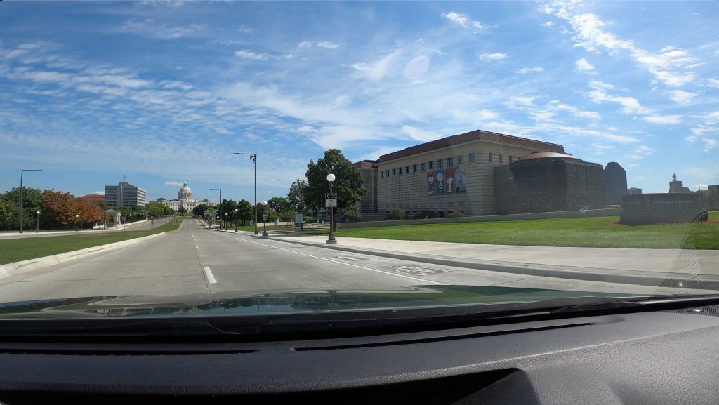
In addition to the two (four) parks, we visited the Minnesota Museum of History to see the new Charles M Schultz exhibit, visited Oakland cemetery in Saint Paul (more relatives buried there), dinner at Japanese Hibachi, and caught a late movie (Indiana Jones and the Dial of Destiny). It was a busy weekend. With everything else we did, it was good to get four new to me parks in the log.
If you go
Fort Snellling State Park
101 Snelling Lake Road
St. Paul, MN 55111
Park open: 8:00am – 9:30pm
Park office hours vary by season
Minnesota State Park Pass required
Minnesota Valley State Trail
Trailhead locations vary. See site for map of locations
Parking area hours vary by location. No overnight parking allowed
No trail pass required
I activated Ft Snelling a couple of weeks ago. It was a bit late, but I got tge activation in before the sun went down.
73 WB0POH